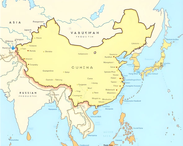
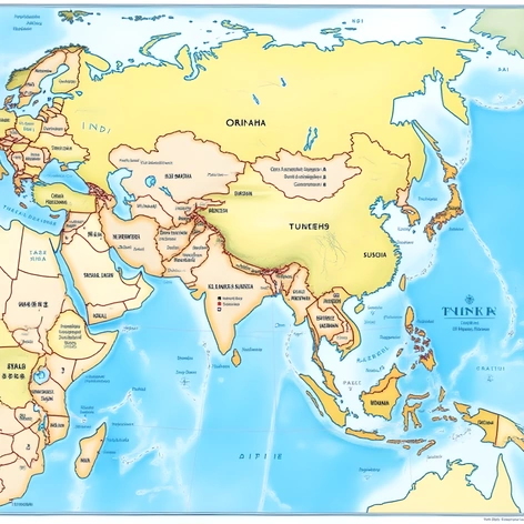
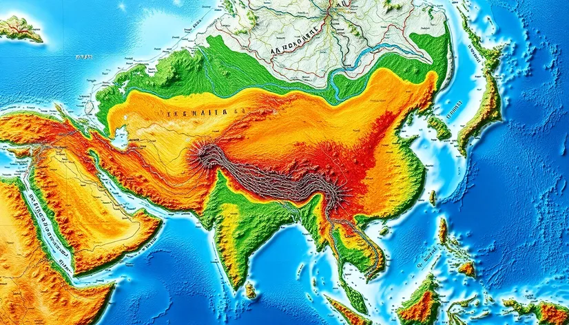
asia political map
Resize and add details
Convert to video
Outpaint the rest of the image
Additional Info
Steps27
Samplereuler_a
CFG Scale8.4
Seed134525790
Enhanced Promptdetailed Asia political map, geographical features, country borders, capital cities, major rivers, lakes, deserts, mountains, islands, international boundaries, disputed territories, labeling of countries, cities, and geographical features, distinct color coding for each country, legend explaining the color codes, scale and projection information, high-resolution image, up-to-date and accurate information, inclusion of Taiwan, Hong Kong, and Macau as separate entities, labeling of major straits, bays, and seas, indication of border disputes and conflicts, clear and concise labeling, easy-to-read font, visually appealing design, suitable for educational, research, or professional purposes, can be used for printing or digital display, compatible with various devices and software, available in different formats such as PDF, JPEG, or PNG, can be easily edited or customized, free of any copyright or licensing restrictions, adheres to international mapping standards and conventions, provides a comprehensive and accurate representation of Asia's political geography.