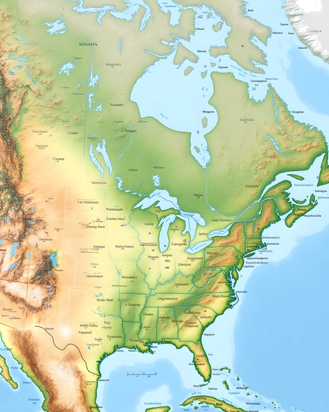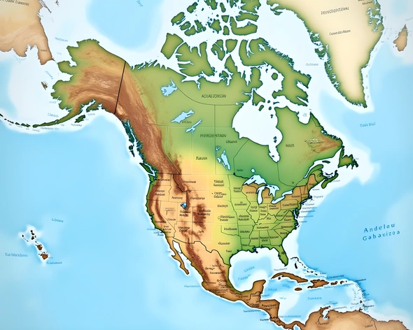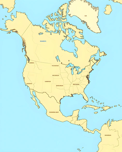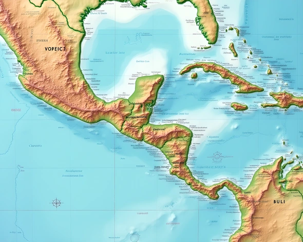
central america map blank
Resize and add details
Convert to video
Outpaint the rest of the image
Additional Info
ModelFlux
Seed1113491950
Enhanced PromptCentral America map, large geographical scale, physical features include mountain ranges like Sierra Madre de Chiapas and Cordillera Central, volcanic regions including Guatemala's Pacaya Volcano and Nicaragua's Ometepe Island, major rivers such as Usumacinta River and Motagua River, coastal areas along Pacific Ocean and Caribbean Sea, countries included are Mexico, Belize, Guatemala, Honduras, El Salvador, Nicaragua, Costa Rica, Panama, distinct bordering countries of North America to the north and South America to the south, shaded relief map, cartographic style inspired by vintage explorers' maps, subtle texture mimicking aged parchment, faint gridlines, clear labeling of country names, city names, and notable geographical features, vibrant colors used for visual distinction between land and water, atmospheric effect giving the impression of being viewed from an aerial perspective, soft pastel hues in the sky, moderate level of detail, realistic representation of terrain, 300 dpi resolution, saved as a JPEG file