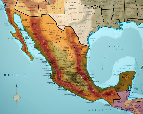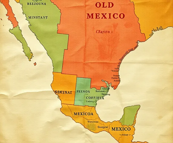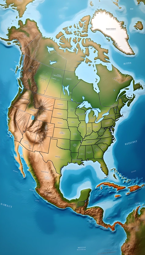
map of the us and mexico
Resize and add details
Convert to video
Outpaint the rest of the image
Additional Info
ModelFlux
Seed898585553
Enhanced Promptgeographic, political map of united states and mexico, continent scale, shaded relief, water bodies labeled, major cities highlighted, international borders clearly defined, country boundaries marked, state/province borders outlined, elevation contour lines, moderate level of detail, real-world satellite imagery incorporated, daytime illumination, subtle gradient effect on terrain features, faint grid system overlay, cartographic style reminiscent of national geographic, 3d rendering, visually appealing color scheme, north america's diverse geography showcased, prominent mountain ranges, vast deserts, sprawling urban areas, and lush forests, user-friendly legend providing clear information about data sources and scales, extensive use of symbolism to represent different geographical features, incorporation of notable landmarks and cultural sites, visual representation of population density, inclusion of climate zones, distinct labeling of natural resources such as rivers, lakes, and coastlines, moderate zoom level to showcase both regional and continental features, overall aesthetic balancing functionality and beauty