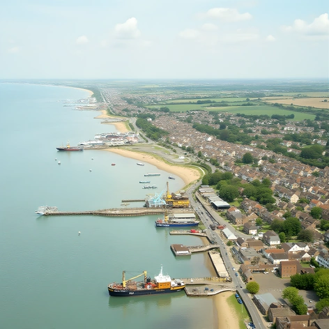
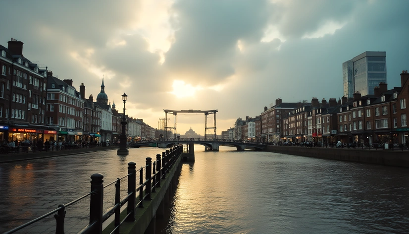
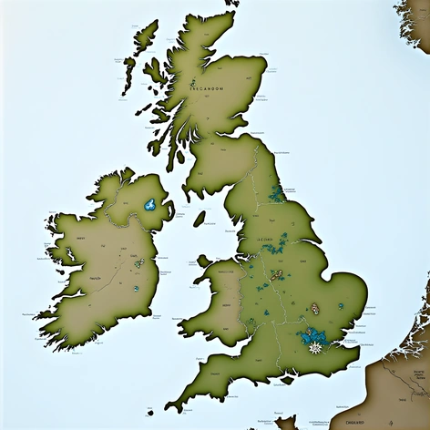
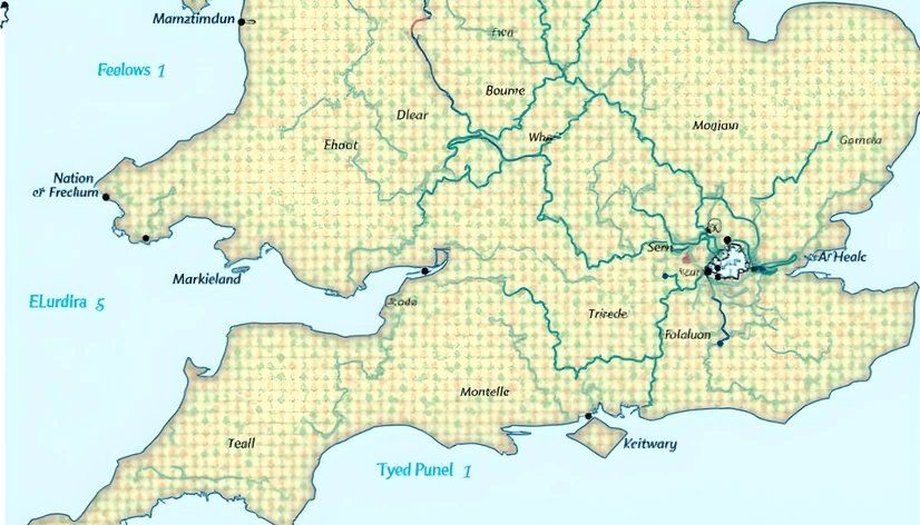
suffolk england map
Resize and add details
Convert to video
Outpaint the rest of the image
Additional Info
ModelFlux
Seed1467632802
Enhanced PromptSuffolk England map, historical county borders, 19th century cartography style, sepia-toned colors, faded edges, subtle watercolor textures, faint gridlines, original 1830 Ordnance Survey markings, detailed topographical features, rolling hills, dense forests, meandering rivers, coastal shoreline, prominent landmarks like Bury St Edmunds Cathedral, Framlingham Castle, Sutton Hoo, Iken Cliff, Dunwich Heath, Minsmere Nature Reserve, Aldeburgh Beach, Southwold Pier, and Snape Maltings, atmospheric mist or fog effect, muted color palette, emphasis on natural scenery, gentle curves and soft shapes, detailed vegetation, old-world charm, nostalgic feel, oil painting-inspired brushstrokes, subtle gradient mapping, illustrative style, richly textured paper-like surface, aged parchment appearance, vintage maps feel, antique compass rose, delicate lettering, ornate border, subtle embossing effect, 300 dpi resolution, 18x24 inches print size, matte finish, framed with distressed wood, hung in a traditional English country home study.