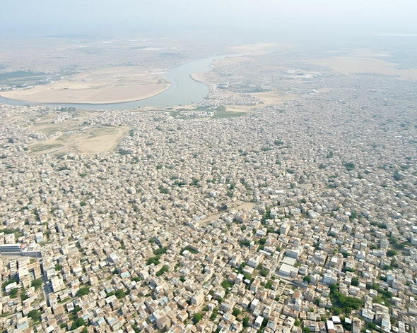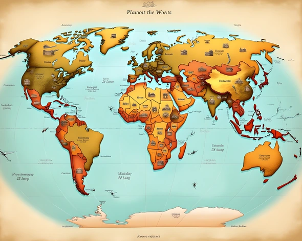
world map gaza strip
Resize and add details
Convert to video
Outpaint the rest of the image
Additional Info
ModelFlux
Seed1016631378
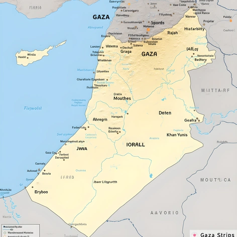
Enhanced PromptMiddle East geography, Gaza Strip location, Palestinian territory, Mediterranean coastline, 41 kilometers long, 12 kilometers wide, Egyptian border to the south, Israeli border to the north and east, dense population of approximately 2 million residents, urban areas including Gaza City, Jabalia, Khan Yunis, Rafah, rural areas featuring agricultural land, coastal plains, mountainous regions, major cities along the coast, significant infrastructure including roads, buildings, and ports, conflict zones and disputed territories, geopolitical tensions between Israel and Palestine, historical significance as part of ancient Canaan, biblical region of Philistia, archaeological sites and cultural landmarks, economic challenges due to blockade and occupation, humanitarian crisis, United Nations involvement, international aid efforts, demographic breakdown including Muslim, Christian, and other minority groups, socioeconomic statistics, education levels, healthcare access, refugee camps and displacement, human rights concerns, ongoing conflict and violence, military presence and checkpoints, border crossings, trade restrictions, international relations and diplomacy efforts, regional implications and global impact.